
FROST & FREEZE MON NIGHT/ TUES MORNING
Written by: Brian Neudorff
We were spoiled March and April, plain and simple. To many, this recent cold spell is a shock to the system. When we were out for Mother's Day Sunday as we were walking in and out of the restaurant so many didn't have coats even saw a few people in short-sleeves and even sandals. Of course at church, I even got more than a couple comments about the snow. It looks like we will see a at least another 36 to 48 hours of unseasonably cold air.
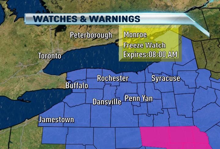
Our cold will peak tonight as the area of high pressure to our west passes over the top of us tonight. Skies will be clear, winds will be very light to nearly calm and the air over us will be chilly so our overnight lows will fall to near freezing or for many below. There are currently freeze watches for all of western NY. This watch will probably be upgraded to a warning for most later today and afternoon.
No comments:
Post a Comment